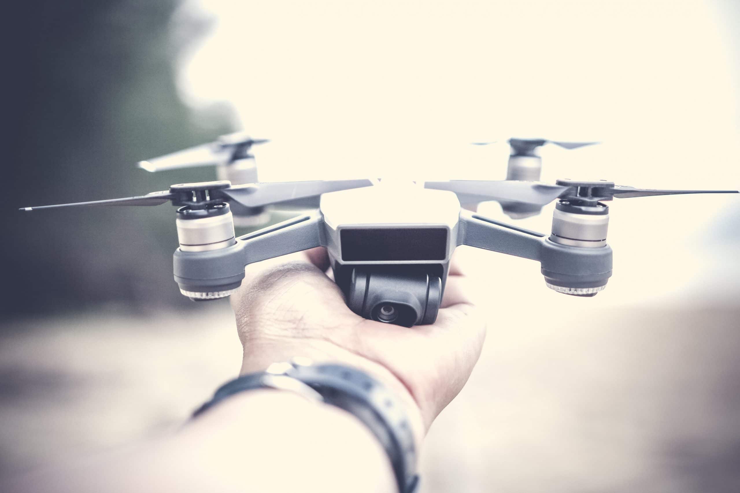
Drones, also known as unmanned aerial systems (UAS), are not only considered to be sophisticated military technology for combat missions and research and development, but they are also used for personal and commercial purposes with the ability to capture aerial images and videos of cityscapes, landscapes, sporting events and concerts. In the US alone, the value of drone activity has increased from $40 million in 2012 to roughly $1 billion in 2017. Different industries are using the technology to their advantages such as the insurance sector adopting drones to survey damaged assets and the farming sector using them to fertilize and monitor the condition of crops.
Today, drones can carry out a variety of functions including assisting in operations that are dirty and dangerous like window washing, mapping and reaching remote areas and terrain that are inaccessible to humans, safety inspections, storm tracking hurricanes and tornadoes, law enforcement and border patrol surveillance, supplying essentials to survivors during disasters and search and rescue operations thanks to the help of thermal sensors.
The Future of Drones
So how will drone technology evolve from here? Their purpose is to continue increasing work efficiency, productivity and accuracy as well as to decrease workloads and resolve security issues. By 2020, global militaries will spend $70 billion on drones, which will eventually lead to replacing human pilots and resolving big conflicts. The goal in the future is to automate and digitize operations and to have express drone shipping and delivery services for retail stores.
Not only that, in the next several years, drones will be expected to supply internet connections in remote areas, monitor traffic incidents and have enhanced intelligent autonomous piloting capabilities. Drone-enabled flights with full airspace awareness and auto action with takeoff and landing functions will become an innovative UAS application. Currently, this needs more time to develop and still awaits approval, however, once fully operational it will have the ability to go on unpiloted surveillance excursion in pipelines, mines and construction projects.
Different Functionalities You Can Get With Drone Apps
With all these current and future innovative and advanced drone capabilities, how do mobile applications fit into everything? There are a variety of different apps that are connected to drone activity showing functions like wind and weather forecasts, flight restrictions, aerial high-resolution imagery, video recording, traffic alerts etc. Currently, the most mature and popular UAS applications are used for short-range surveillance, photographs and video.
If you are an avid drone user or you are looking to create your own drone app, below we have rounded up a list of some of the different functionalities you can find in mobile applications connected to this technology.
- Forecasts: Weather and wind forecasts and solar activity.
- GPS: Monitor GPS satellites.
- Flight conditions: Notifications of no-fly zones, flight restrictions and real-time air traffic alerts while flying.
- Aerial imagery: Capturing the best aerial 2D and 3D imagery, shooting horizontal, vertical and spherical panoramas.
- Tracking: Easily tracking an object or subject.
- Drone control: Fly the drone autonomously or take manual control of the drone during a flight mission.
- Mapping: High-resolution maps and aerial imaging and mapping in construction, solar, energy, agriculture, surveying, mining, insurance, inspection.
- Flight plan: Flight plan management online and offline, creating flight plans with a specific duration and altitude, plan and schedule repeatable flights, sync missions across multiple devices and load, save, pause and resume missions.
- Video recording: Automatic video recording and recording a live video feed.
- Measurements: Measure elevation, distance, volumes, surface area, and roof geometry.
- Safety precautions: Risk assessments for mission planning, emergency landing and return-to-home technology.
- Flight logging: Pre-flight checks and automated or manual post-flight logging.
- Performance: Battery performance and capacity tracking.
- Airspace rules: Real-time airspace rules and conditions according to flight specifications.
- Sharing flights: View publicly shared flights from around the world, wirelessly transfer images from the drone to a mobile device, process drone imagery to share high-quality interactive drone maps and 3D models with others directly from your mobile device.
The Top 6 Most Innovative Drone Mobile Applications
Now that you are familiar with some of the common functions found in drone mobile apps, here are the most innovative and impactful applications utilizing the many functionalities mentioned above.
1. UAV Forecast: Weather Forecast for Optimal Drone Flying
According to the team: “When will it be good to fly your quadcopter? See the weather forecast, GPS satellites, solar activity (Kp), No-Fly Zones and flight restrictions, all in one convenient tool. Perfect for DJI Phantom, DJI Spark, DJI Mavic, DJI Mavic Pro, DJI Inspire, 3DR Solo, Parrot Bebop, Yuneec, and many other Unmanned Aerial Vehicles.”
Apple App Store
Google Play Store
2. Litchi: Capturing the Perfect Shot
According to the team: “Like getting that perfect shot. In Focus mode, Litchi assists you by taking control of both the gimbal and the drone’s yaw axis, so you can concentrate on horizontal movements. The result? Amazing shots. Every time. By harnessing the power of your mobile phone, the Virtual Reality mode brings you the most immersive FPV experience. Watch your autonomous mission in VR mode, or fly manually for added thrills. With Litchi’s Track mode, your DJI drone now understands what it sees. Using state of the art computer vision algorithms, Litchi keeps your selection perfectly framed while you fly the drone. Don’t want to fly manually? That’s ok too, start an autonomous Orbit or Follow and watch Litchi take care of everything.”
Apple App Store
Google Play Store
3. DroneDeploy: Drone Mapping
According to the team: “DroneDeploy is the leading cloud software platform for commercial drones, and is making the power of aerial data accessible and productive for everyone. The free DroneDeploy app provides easily automated drone flight and image capture and enables you to generate, explore and share high-quality interactive drone maps, orthomosaics and 3D models directly from your mobile device.
Fly your DJI drone autonomously with just two taps on your iOS device. Quickly process your imagery with DroneDeploy – even real-time Live Maps – to generate high-resolution maps and 3D models, analyze, annotate and share your maps with others directly from within the app. Extend DroneDeploy’s capabilities and take your analysis to the next level with over 80 apps available for install within DroneDeploy’s Platform App Market.
DroneDeploy is the ultimate app for a wide range of aerial imaging and mapping applications in construction, solar, energy, agriculture, surveying, mining, insurance, inspection and more. DroneDeploy has empowered users to map and analyze over 40 million acres in more than 180 countries.”
Apple App Store
Google Play Store
4. PrecisionFlight: Capturing Aerial Data
According to the team: “PrecisionHawk’s PrecisionFlight mobile app turns your DJI drone into an advanced remote sensing tool that empowers drone pilots to capture aerial data autonomously. This FREE APP enables operators to create flight plans, guide the drone to capture aerial 2D and 3D imagery, and launch and record a live video feed with the push of a button. While using video, operators can tag specific frames in real time to focus on critical points of interest. Upload data to PrecisionMapper for further analysis.”
Apple App Store
Google Play Store
5. Kittyhawk: All Drone Data in One Place
According to the team: “Kittyhawk unifies the mission, aircraft, and data to empower effective drone operations. We’ve brought together the best pre-flight tools, in-flight functionality, and post-flight logging and intelligence into a single well-designed application. Perfect for the individual pilot, with powerful team and enterprise functionality.”
Apple App Store
Google Play Store
6. Airmap for Drones: Situational Awareness for Drone Pilots
According to the team: “AirMap is the leading global provider of aeronautical data & services to unmanned aircraft or drones. Use AirMap to maintain situational awareness, request digital authorization, get traffic alerts, & more.”
Apple App Store
Google Play Store
Can you imagine living in a world where your online shopping products are delivered by drones? With capabilities like that, it is crazy to picture just how far this technology will continue to evolve in the future! We are always excited to hear about innovative advancements in technology and so we look forward to the different tasks drones and mobile apps can assist us within the next several years. Are you familiar with some of the apps and functions we mentioned in the post? Let us know and keep us posted on your thoughts and ideas!